
Mam Tor Landslip
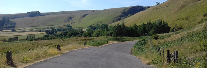
A rollercoaster of a route following the buckled road as it disappears below Mam Tor - the Shivering Mountain - at the head of the Hope Valley. Traffic-free.
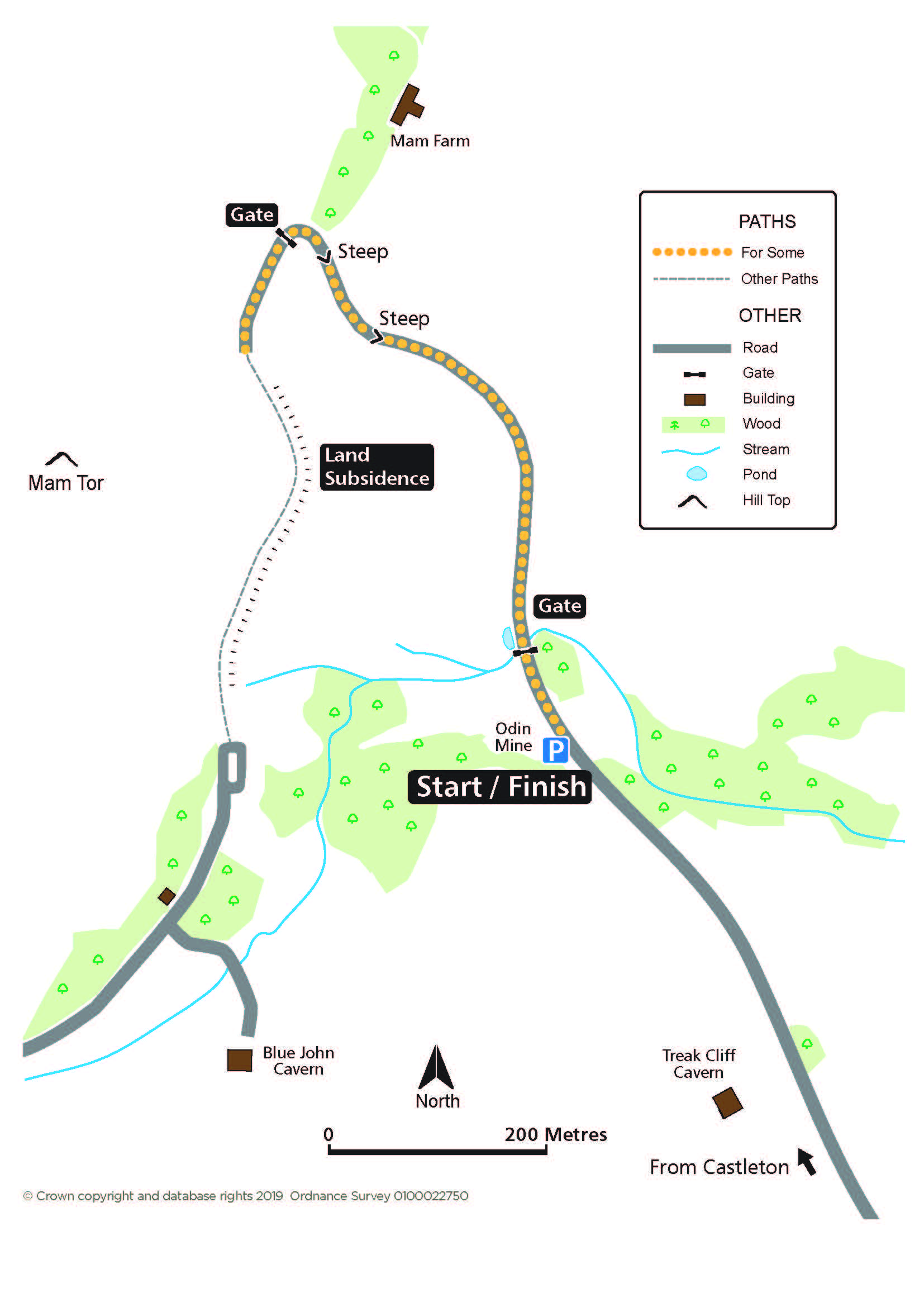
Access for Some
Distance: 650m to the road end
Nearest Facilities: Castleton
Directions
1. With the entrance to Odin Mine on the left, take the path marked by a vehicle restriction sign.
2. Continue through a gate up steep, cambered and fissured sections of the road.
3. Continue for 150m beyond a further gate, stopping before the road drops away.
Mam Tor Landslip Route Map (284KB)
Getting there
Start at the turning circle past Treak Cliff Cavern, west of Castleton via the A6187.
Ordnance Survey grid reference: SK1343 8348
Postcode: S33 8WA
Parking: roadside
Do you know?
- Lead was extracted at Odin Mine from the 13th to 19th centuries. The 1823 ore-crushing circle used horse-power to separate the vein mineral from the limestone.
- Blue John, an ornamental form of fluorspar, is won from the two caverns on the hillside.
- The frequent landslips gave Mam Tor its name of Shivering Mountain and the costs of repair eventually led to the road being abandoned in 1977. Winnats Pass is now used as the through route.
Explore more


