
Parsley Hay
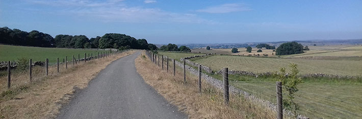
Journey along former railway lines and the Pennine Bridleway taking in the scenery of the White Peak with refreshments, picnic opportunities and cycle hire.

Access for All
Distance: 4 km to Ruby Wood
Nearest Facilities: Parsley Hay Cycle Hire and Hartington Station
Directions
1. Turn left along the trail in front of the cycle hire centre.
2. Pass a bridge and bollards and keep right when the trail forks.
3. Continue through cuttings and along embankments until reaching the signal box at Hartington Station, and then Ruby Wood.
Alternatives
Start at Hartington Station for a shorter route to Ruby Wood (800 m) or for reversing the route to Parsley Hay.
Parsley Hay Route Map (349KB) ![]()
Getting there
Start at car park at Parsley Hay. Via the A515 Buxton to Ashbourne Road.
Ordnance Survey grid reference: SK1468 6371
Postcode: SK17 ODG
Parking: 5 dedicated disabled
Toilet: open 24 hours, RADAR key
Do you know?
- The route forms part of the Pennine Bridleway, for cyclists and horse riders, which parallels the Pennine Way for walkers.
- Arbor Low Dark Sky Discovery Site at Parsley Hay provides seasonal panoramas of the night sky.
- Hartington Station signal box still has the levers for signalling.
Explore More


