
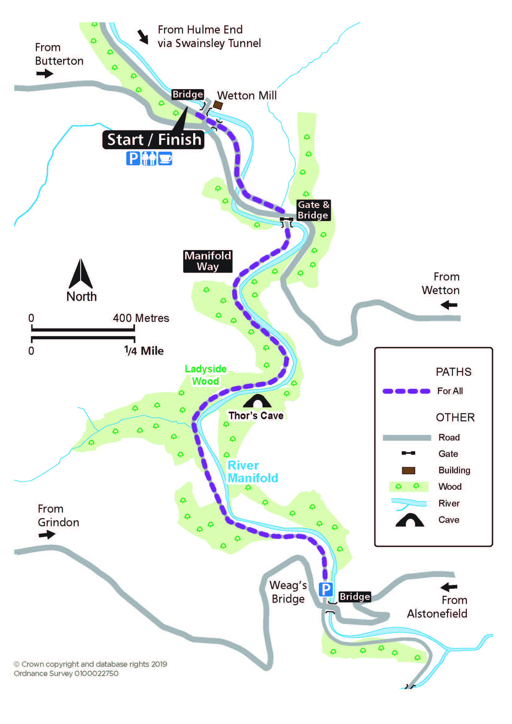
Manifold Way
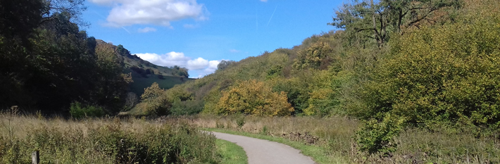
Wind your way down the Manifold Way following the disappearing stream and Thor’s Cave in this tranquil limestone dale. The first part is on a minor road.
Access for All
Distance: 2.8 km to Weag's Bridge
Nearest Facilities: Wetton Mill Tea Room
Directions
- Follow the road along the valley bottom.
- At the point marked by a vehicle restriction sign, pass through the gate and over the bridge.
- Continue along the former dismantled railway, passing Thor’s Cave above, to the parking at Weag's Bridge.
Alternative
Start at Weag’s Bridge to reverse the route to Wetton Mill.
Manifold Way Route Map (377KB) ![]()
Getting there
Start at Wetton Mill in the Manifold Valley.
Ordnance Survey grid reference: SK 0957 5610
Postcode: DE6 2AG
Or
Start at Weag’s Bridge in the Manifold Valley.
Ordnance Survey grid reference: SK 0999 5426
Postcode: ST13 7TX
Do you know?
- The meanders or many folds of the River Manifold give it its name. In dry spells it disappears underground via the swallets or sink holes south of Wetton Mill to re-emerge in the grounds of Ilam Hall.
- The lofty arch of Thor's Cave dominates the valley, with local evidence of human occupation 10,000 years ago.
- The Leek and Manifold narrow gauge railway, with primrose-yellow locomotives modelled on those in India, ran on this route from 1904 to 1934.