
Minninglow
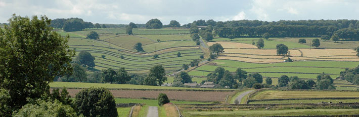
 A hidden flooded sand pit, now a haven for wildlife. Views of Minninglow. Links to High Peak Trail.
Permissive path - access on foot. Defra funded until March 2024
Distance: 200 m of new access
Accessibility: 1 pedestrian gate, 1 field gate. Undulating path with a steep section.
Nearest Facilities: Newhaven
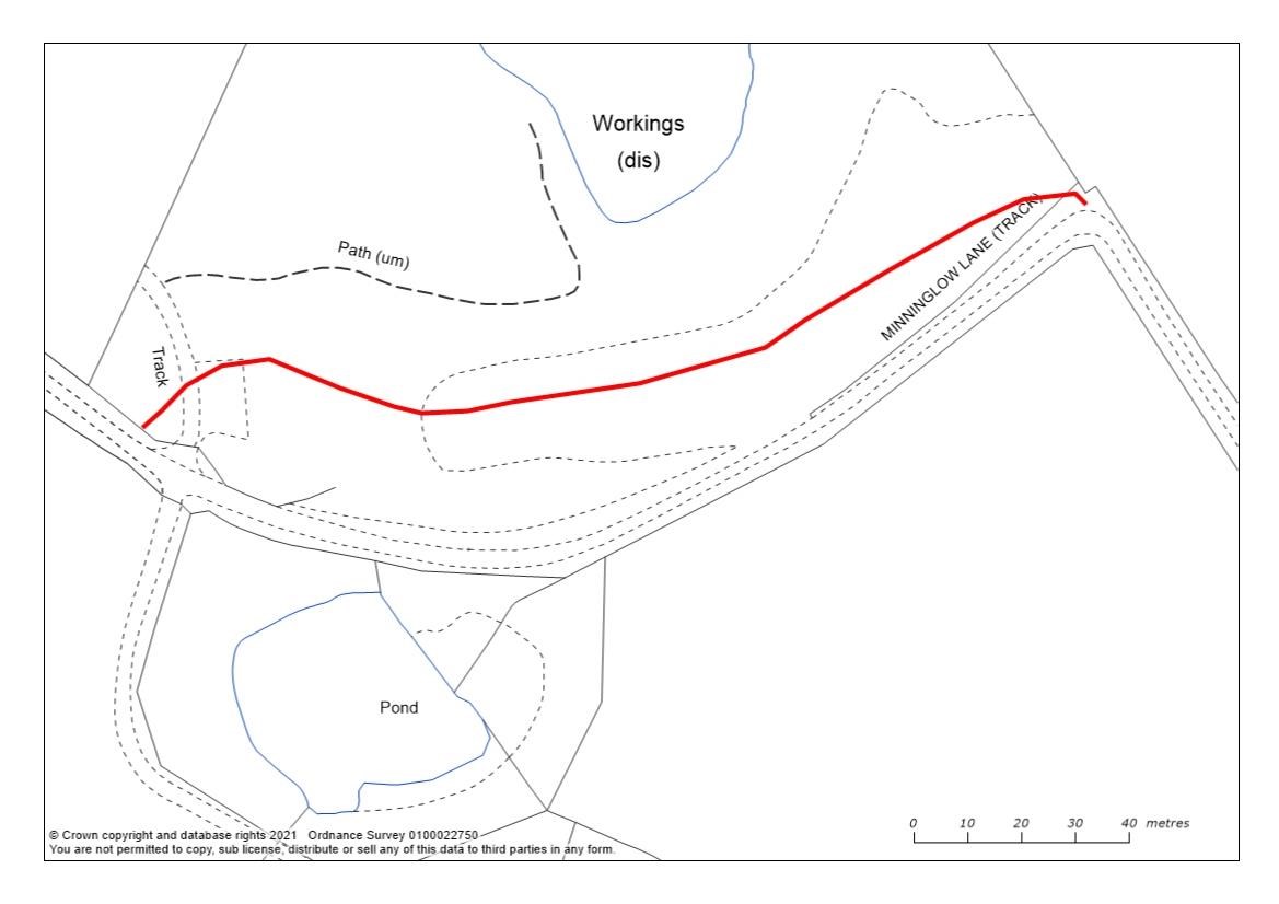
Minninglow sandpit permissive path route map (1.4MB)
Directions
- From Minninglow Car Park cross the road to head along the High Peak Trail
- After 1.8 km, turn right down Minninglow Lane
- After 400 m, take the gate on your right
- Follow the path above the lane
- Loop back along the lane or return along minor roads to the car park.
Getting there
Start Point: Via the A5012 Newhaven to Cromford
Parking: Minninglow Car Park
Ordnance Survey grid reference: SK. 2032 5756
Postcode: DE4 2PR
What3Words: ///puns.trace.tortoises
Do you know?
- Silica sand has no impurities and was used to make moulds for metal casting
- Great crested newts hibernate between October and February
- Minninglow’s tree-fringed hill is a burial chamber dating from the Neolithic and Bronze age.