Planning a Self-Led Hydrology (Rivers) Visit to the Edale Valley

What do you need to know
Studying rivers - Hydrology in the Edale Valley.
- The PDNP Learning team will no longer be running fieldwork visits from Edale visitors centre. Essentially this means they will not be running any of the GCSE Hydrology days from the sites of Grindsbrook and Golden Clough.
- The River Noe site, which is on private land, will no longer be accessible for school visits.
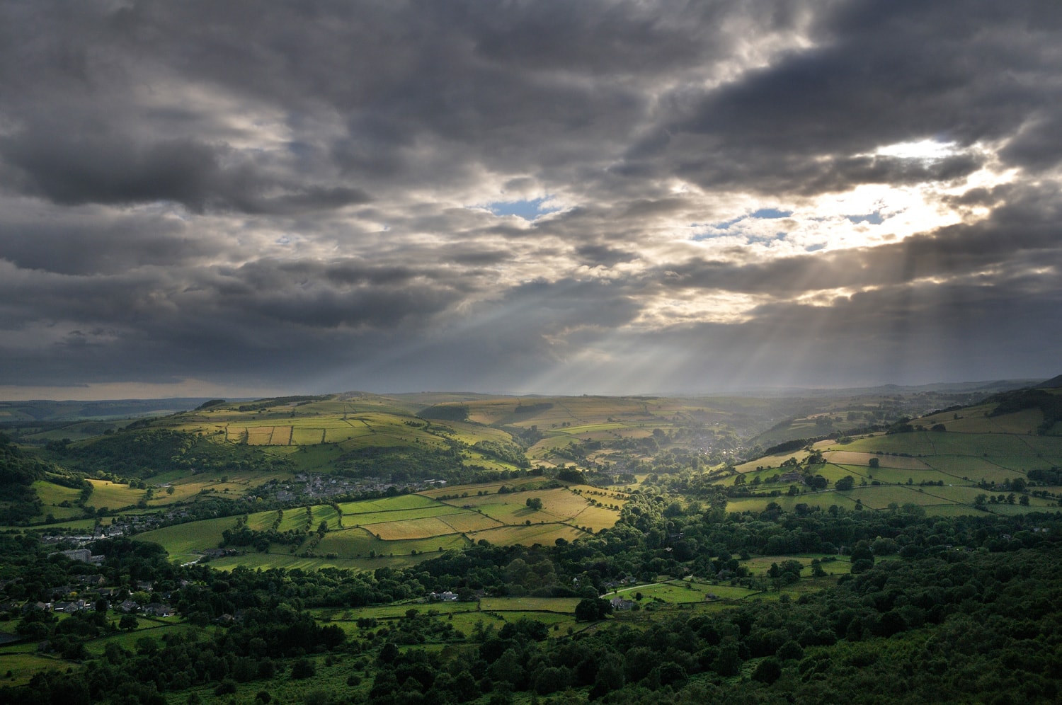
- The streams Grindsbrook and Golden Clough have long been used by geography students to study upland river flow. They are great examples, showing many upland river features and are easily accessed being less than half an hour’s walk from the village of Edale which itself is in the middle of the Peak District National Park and surrounded by big cities and excellent road and rail networks.
- The rivers themselves are rarely inaccessible even in times of high rainfall and are relatively safe places to work with a class of school children. In times of poor weather they are easy to retreat from on excellent paths and close to “civilization” although mobile phone signal can be patchy.
- The PDNP will however be running a limited number of visits from their centres at Longshaw, Longdendale and Macclesfield Forest / Goyt Valley. Please see this webpage for more details: Education visits: Peak District National Park.
Self-led group visits
There is no reason why schools can’t continue to visit the river sites in Grindsbrook and Golden clough but a number of considerations need to be taken into account.
- During the Summer and Autumn months these sites have traditionally been very busy with organised groups and there may be other groups wanting to visit on the same day as you.
- The sites of Grindsbrook and Golden Clough although part of the CROW access agreement are also designated Sites of Special Scientific Interest (SSSi’s).
- In a SSSi there are additional environmental considerations. To follow the legal use of these areas you need permission from Natural England as well the more normal permission from the landowner.
- For these two sites Natural England permissions have been sought by the Landowner and The Peak District National Park and have been granted subject to the conditions below.
- You can self lead a visit to both Grindsbrook and Golden Clough and don't need to contact the landowner direct.
Consideration for Habitats and Wildlife
- Absolutely no fires or naked flames.
- No more than 35 students in each area at any one time and work only in the areas designated on the map.
- Keep to paths where possible.
- Activities will not negatively impact on wildlife habitats, no loud music. This is to reduce any effects on wildlife outside the immediate testing area.
- Sensitive habitats such as flushes will be avoided.
- No ground is to be broken or vegetation excessively trampled.
- All rocks taken from the river to be put back exactly where they came from.
- No soil sampling or use of chemical based tests without further consent.
- All equipment should be washed and clean before being brought on site.
- All litter must be taken home.
- No human waste should be left on or near the sites (Faeces and sanitary products etc).
Consideration for others
- Approach the Edale valley from the west end (Mam Nick) as the approach from Hope is too narrow for most coaches.
- Park in the main car park and not in the village or campsite/visitors centre.
- Make use of the toilets in the car park as there are no others available.
- If you meet another group negotiate timings or use of the two sites so that the impact is minimised.
- When passing members of the public give way to them particularly on narrow sections like bridges etc.
- Our staff and volunteers regularly patrol the area and any group found not working in one of the two designated areas will be asked to leave.
Where (exactly) can I go?
- Edale map showing parking, walk in and wider location of river sites.
- Grindsbrook and Golden Clough close up maps of where to work.
Helpful Documents and links
- Teacher's notes and key pointers for the day
- Edale site's information
- Hydrology Field Record Sheet - a recording sheet to use in the field which contains all the usual measurements, such as depth, width, gradient velocity etc.
- A map showing relative catchment sizes of the streams in the Edale Valley
- Impellor Velocity Conversion Chart for use with Hydroprops
- Introductory Powerpoint including COVID risk management
- An emergency set of data in case of bad weather
- A Zinggs plot graph for analysing bedload shapes
- A virtual GCSE Rivers lesson from the Yorkshire Dales National Park
- The Geographical Association articles on running a successful Fieldwork visit - (you need to be a member to view).