Call for Sites
Local Plan Review: Call for sites, 10 March - 5 May 2025
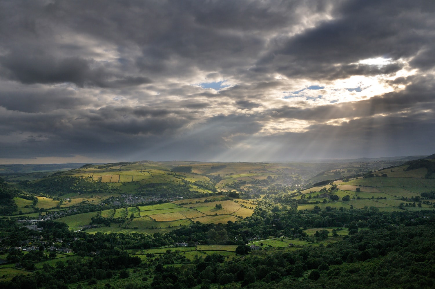
A new Local Plan for the Peak District National Park is currently being prepared. It will shape future development in the National Park to 2045. It will set out the vision, spatial strategy and planning policies that will be used to guide decisions on development proposals and planning applications.
The ‘Call for sites’ is one step in a statutory process that must be undertaken by local authorities preparing a local plan. It will help us to identify possible sites that could be brought forward in the local plan to support national park purposes and duty and deliver our ambition for thriving and sustainable communities.
The Call for sites:
- is an opportunity for landowners, developers, community groups, and individuals to put forward sites to be considered for
- the development of new homes and businesses
- nature recovery, renewable energy and open space
- designation as Local Green Space.
- is not to determine whether a site can be developed.
The Call for sites area is the Peak District National Park Authority area.
What land uses are included?
- 100% Affordable Housing (on greenfield land).
- Self and custom build homes
- Other housing (on brownfield land).
- Specialised care comes (for example older people).
- Small-scale business including offices, manufacturing and warehousing.
- Small-scale and Community-led Renewable Energy
- Local Green Space.
- Biodiversity Net Gain.
- Open Space (allotments, amenity space etc).
Sites may be capable of fulfilling more than one of the above uses and this can be indicated on the submission form.
Submissions must be made within the call for sites period 10 March – 5 May 2025.
Submissions must be made separately for each site, on the call for sites proforma (70kb).
All submissions must include a location map (to scale) that clearly and accurately shows the outline of the area being proposed for development or use in red and any adjacent land in the same ownership in blue, using an Ordnance Survey base map. If multiple land ownerships are involved they should be clearly distinguished on the map. If the land owners are unknown, you can contact the Land Registry.
Please email completed forms and accompanying location maps to: localplan@peakdistrict.gov.uk
Alternatively send them by post to: Policy and Communities Team, Aldern House, Baslow Road, Bakewell, Derbyshire, DE45 1AE.
Emails are limited to 10MB.
Please note: To submit a site for consideration, the submission must include a location map (to a recognised scale) that clearly and accurately shows the outline of the area being proposed for development or use in red and any adjacent land in the same ownership in blue, using an Ordnance Survey base map. If multiple land ownerships are involved they should be clearly distinguished on the map.
If you have any queries please contact PDNPA Customer and Democratic Services.
Telephone: 01629 816 200 Monday to Friday 9am - 4.30pm (excluding bank holidays).
Check here for further guidance.