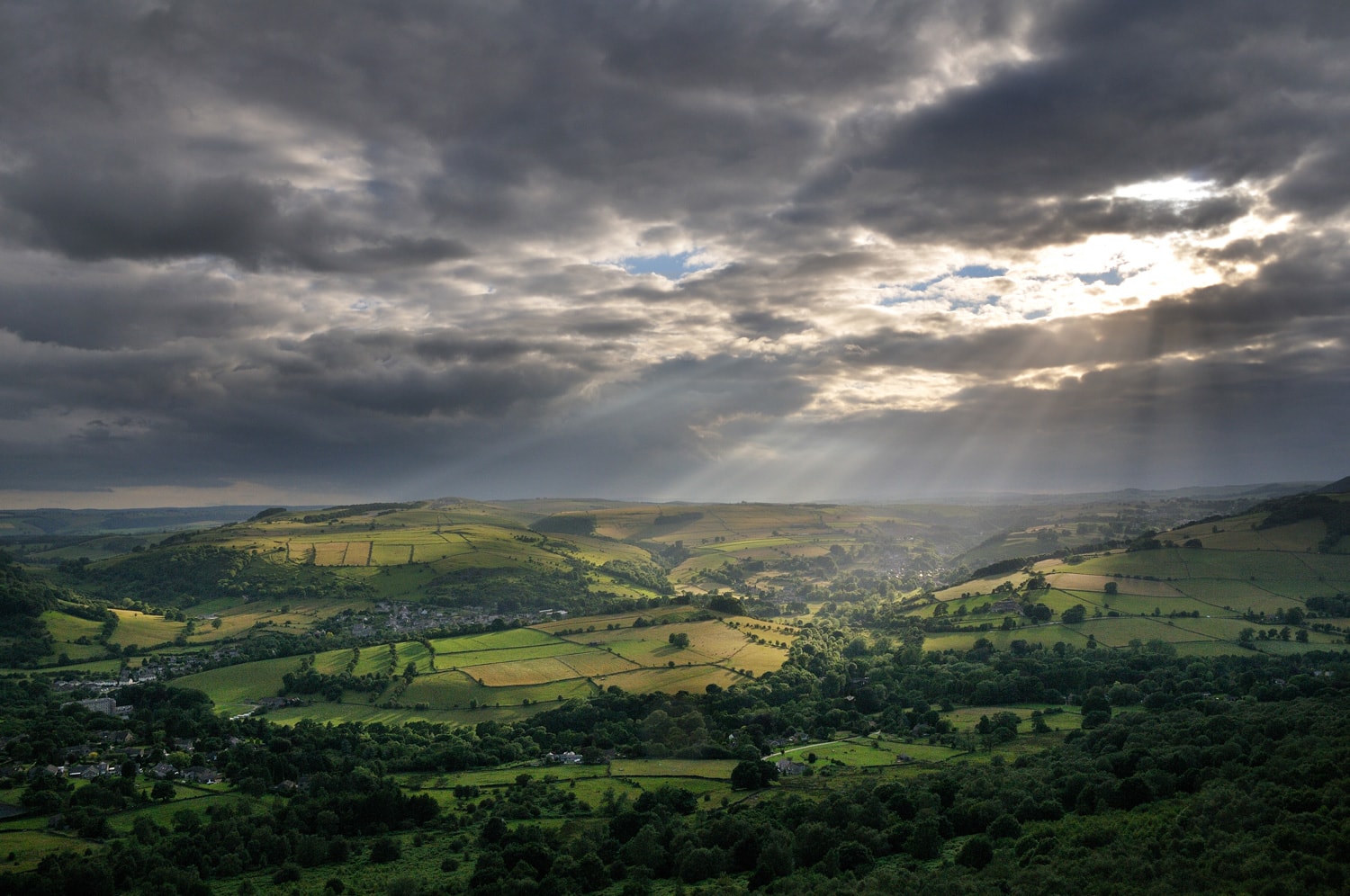
High Peak Trail
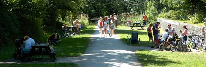
The High Peak Railway line first opened in 1831 and was mainly designed to carry minerals and goods between Cromford Canal and the Peak Forest Canal. Following the closure of the line, the Peak District National Park bought the route in 1971 and turned it into a traffic free trail for walkers and cyclists.
The High Peak Trail runs for 17 miles from Dowlow (53.2059°N 1.8349°W) near Buxton to High Peak Junction at Cromford (53.1004°N 1.5354°W).
View a map of the High Peak Trail.
National Cycle Network: National Route 54
Lightweight transport vehicles (also known as 'e-scooters') are not permitted on our trails network.